
This site contains a number of resources which may help you understand Lake Alfred. Some of them are rather large image files, so be patient if they seem to take a long time to load.
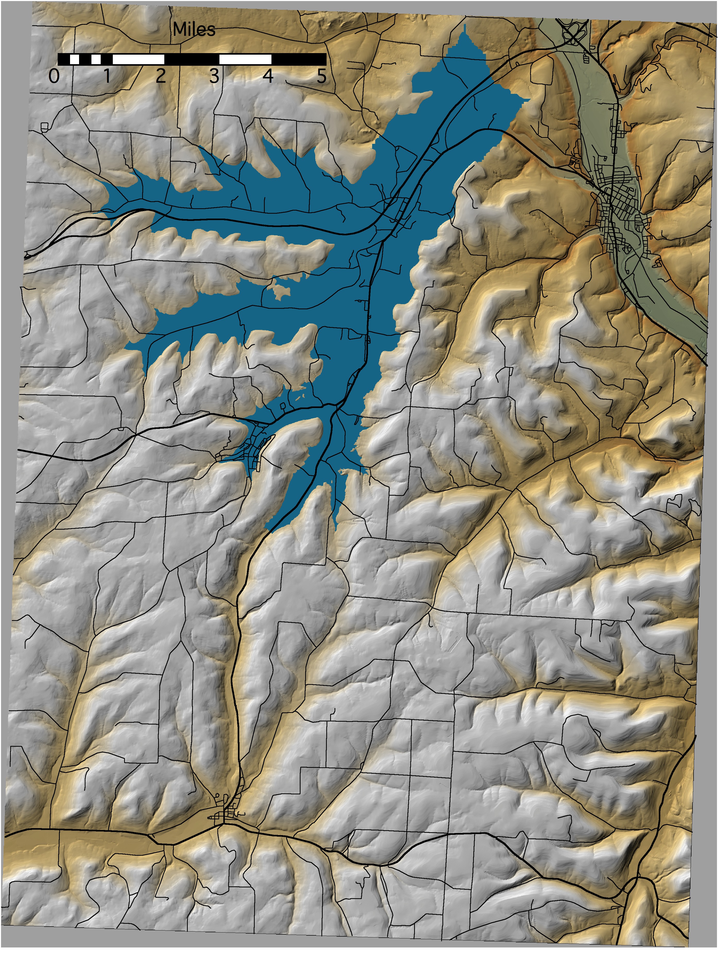
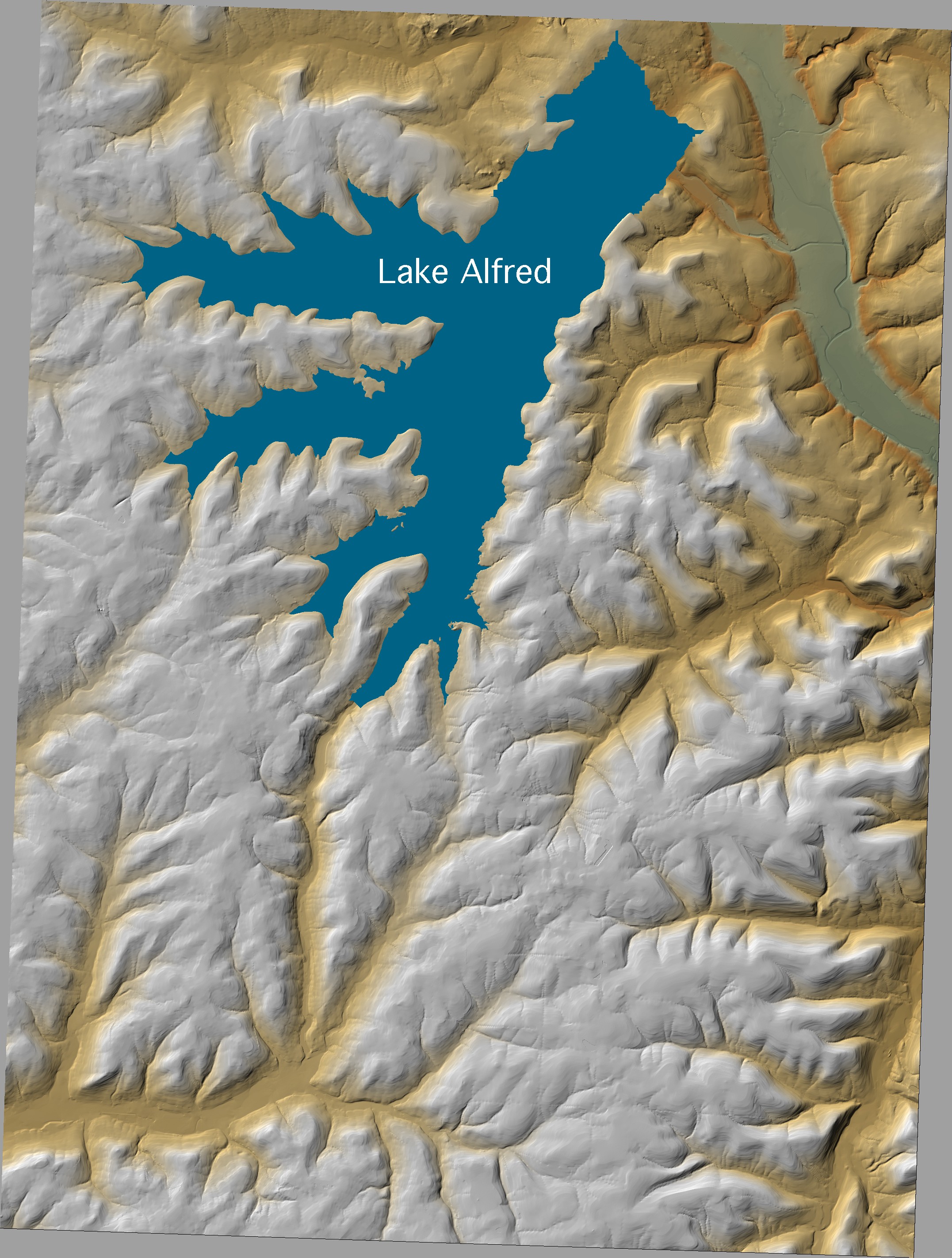
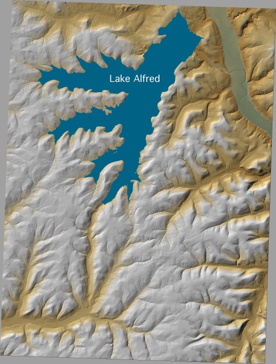
To begin with, you might want to see how it looks on a map. Here are small, medium and large files displaying the lake on the topography. These maps include roads and highways to help you figure out where you are. Here is a large and a small image of a map showing how it might have looked without roads. If you have Acrobat Reader, version 6 or greater, you should be able to use the Layers tab to display the area with or without the lake, grid or roads: LakeAlfred&Grid.pdf (be advised, this file is 43 MB)
For a broader overview, there is an image scanned from a 1:100 000 scale map here.
There are also black and white aerial photographs of the region covered by the Lake Alfred quads, and color aerial photographs of much of the area of Hornell.
The geologic history of the area was studied by Leroy Fairchild during the early part of the twentieth century. He produced a series of articles for the Rochester Gas and Electric Company in 1927 and 1928. Those which pertain to Lake Alfred have been scanned and are available here.
Keeping in mind that there have been a number of changes in topography since the glacier, and its lakes, departed, here is an animation showing how a lowering lake level might appear on today's topography.
Enjoy!
The Lake Alfred Committee
Other Alfred University Links:
|
Liberal Arts and Sciences | Physical Sciences
|