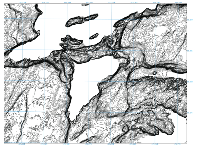
LIDAR 2 ft contours
The LIDAR data have been massaged to yield contour lines with a two foot contour interval. Click on the image, or the button below, to download a geo.pdf at full size
geo.pdf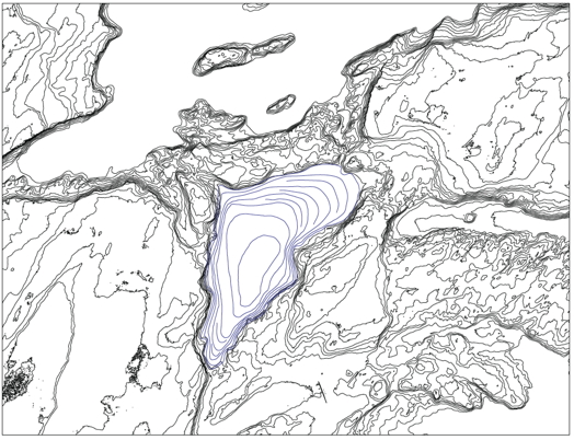
LIDAR 10 ft contours
Lake bathymetry with 10 ft contours
In this image the nearly flat floor of the lake is apparent.
This website is intended to collect and display information gathered by folks who visit Sixberry Lake on a regular basis. If you find errors, dead links, etc., or wish to have content removed or modified, please fill out and submit the form here.