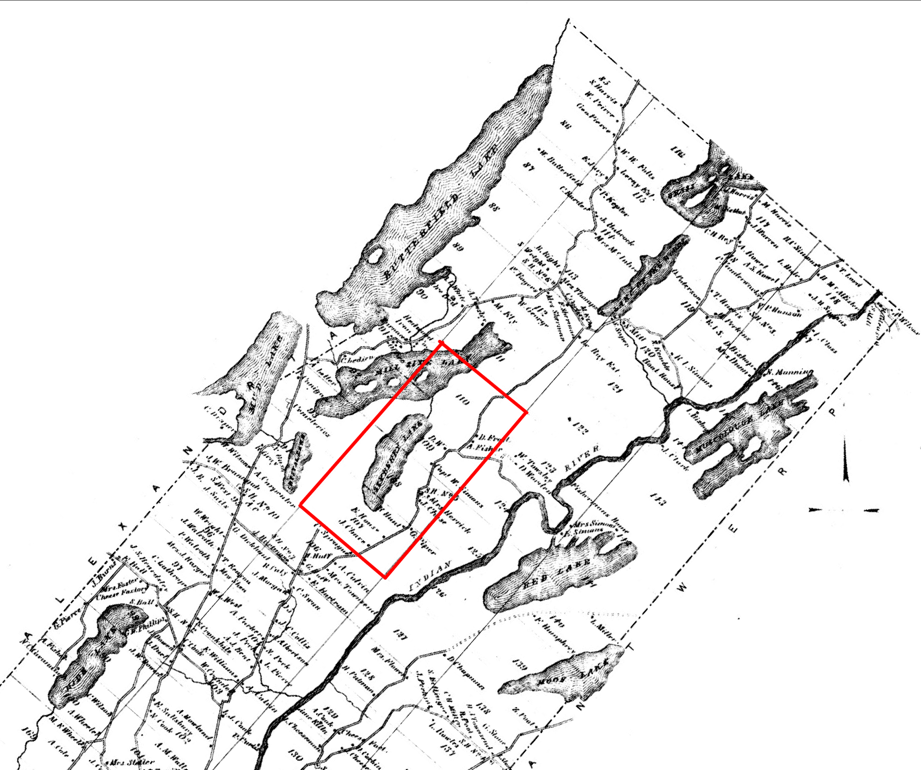
From a map of Theresa in 1864
This map, from http://www.rootsdigger.org/images/theresa_1864.jpg, shows how mapping improved since Macomb's purchase. Sixberry Lake is again in parcels 108-109, which are outlined in red.
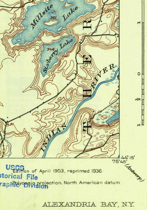
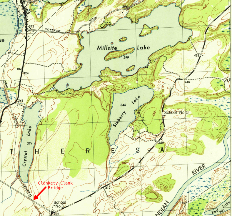
Early Topographic Maps
By 1903, when the map on the left was made, the surveying and mapping was improved even more. Although you can see many buildings along Joyner and English Settlement roads (the black squares), there are none around Sixberry Lake. By 1943, when the map on the right was made, a number of camps occur on the southeast side of the lake, and the Muller camp on the north side. School No. 3 is at the end of Joyner Road, which was a dirt road through the '50's and much of the '60's. Some of us recall the bridge on Joyner road which went over the railroad, and had a distinctive "Clackety-Clack" sound as you drove over it.
This website is intended to collect and display information gathered by folks who visit Sixberry Lake on a regular basis. If you find errors, dead links, etc., or wish to have content removed or modified, please fill out and submit the form here.