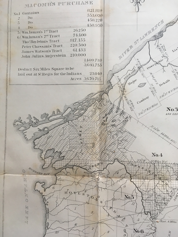
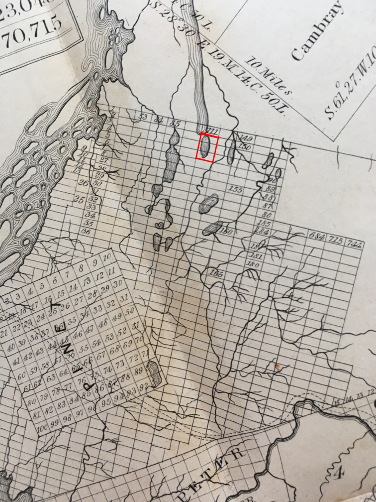
Macomb's Purchase
These images are from the 1850 map of Macomb's Purchase. This was a purchase of four million acres by Macomb in 1791, to help pay for the debts New York had incurred. Macombe ended up in debtors' prison, but the subdivisions shown on this map persist today in the way much of the land in this region of the state is marked off. The three parcels occupied by Sixberry Lake are outlined in red on the image on the right.


This website is intended to collect and display information gathered by folks who visit Sixberry Lake on a regular basis. If you find errors, dead links, etc., or wish to have content removed or modified, please fill out and submit the form here.