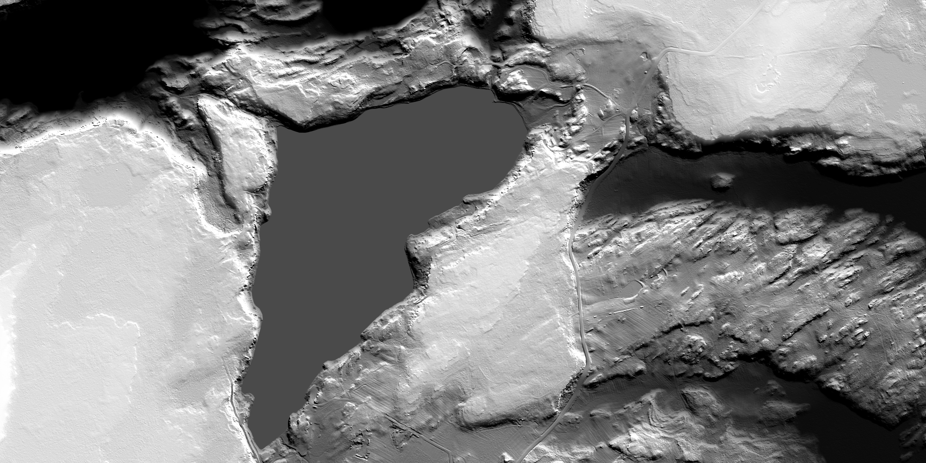
Digital Elevation Map (DEM) from LIDAR data
Although topographic maps are useful, they were constructed from benchmarks and surveys done on the ground, and hence connect widely separated points with lines drawn connecting them. For our area the error bars for a contour line are plus or minus 10 feet. Today LIDAR (Light Detection and Ranging) uses pulsed laser light from an aircraft to measure the distance between it and something reflective beneath it. The accuracy of this technique is astounding, better than an inch, and the maps it produces are remarkable. In this grey scale image the sedimentary rock resting on top of the preCambrian basement is nearly smooth and light colored. The fabric of the preCambrian rocks, trending NE-SW, is apparent and seems aligned with the SE boundary of Sixberry Lake.
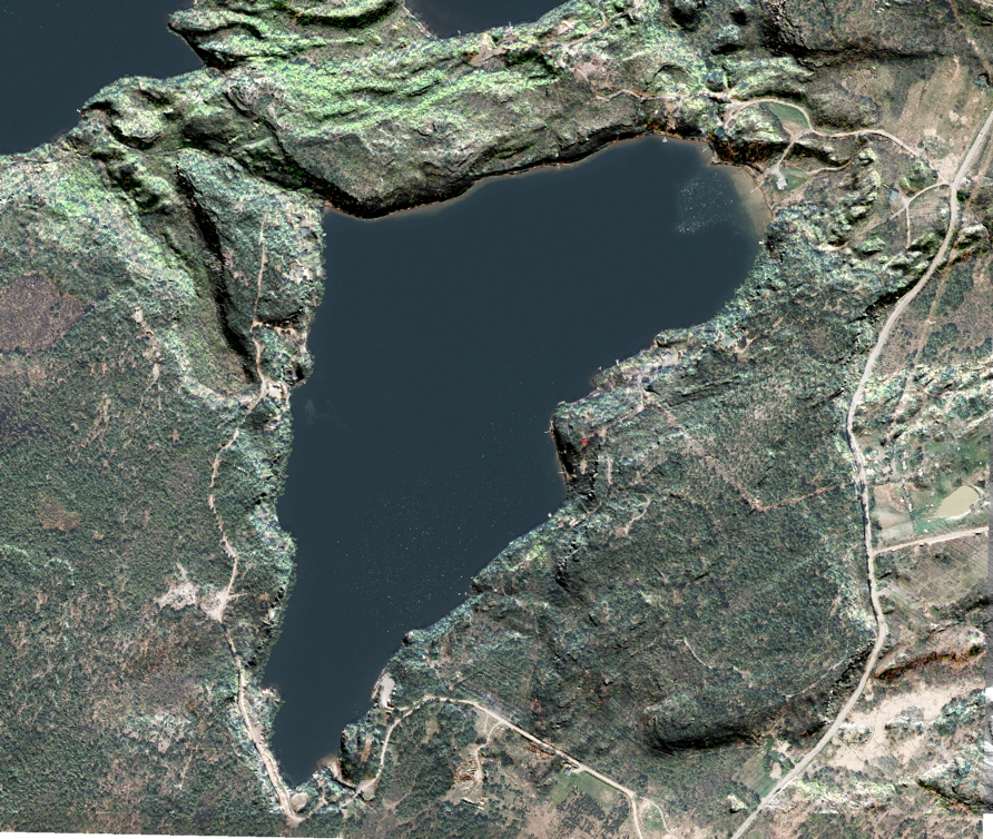
DEM plus Orthoimagery, light coming from Southwest
Here we have wrapped the orthoimage over the DEM. Click on the image for a pdf at higher resolution (33 MB) which can also be imported into Avenza Maps.
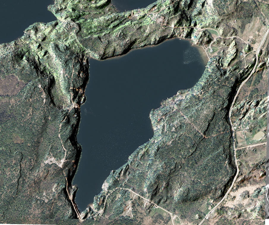
DEM plus Orthoimagery, light coming from Northeast
Here we have wrapped the orthoimage over the DEM. Click on the image for a pdf at higher resolution (33 MB) which can also be imported into Avenza Maps.
This website is intended to collect and display information gathered by folks who visit Sixberry Lake on a regular basis. If you find errors, dead links, etc., or wish to have content removed or modified, please fill out and submit the form here.