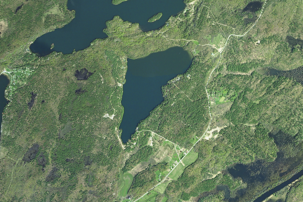
Orthoimagery from 2011
Sixberry and Surrounding areas as seen in 2011
Clicking on the button below will send you to a large (163 MB) file. This will take a while to download, and is not very pracitcal for a phone. At a 1 foot resolution you can see things which have changed between 2011 and 2015.
1 foot
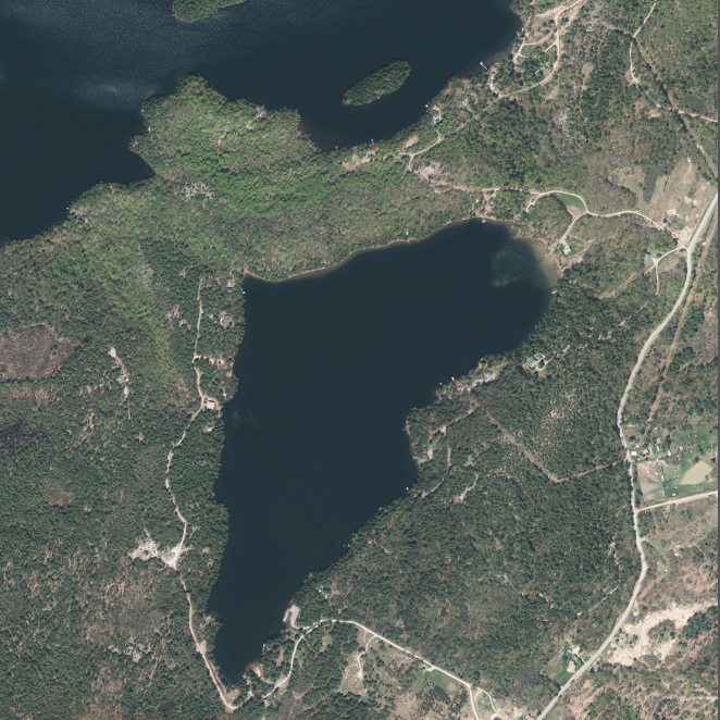
Orthoimagery from 2015
Georeferenced image in three resolutions
It is often convenient to have maps on your phone. I recommend the free app Avenza Maps for either IOS or Android. It will permit you to load three of your own maps, and will then keep track of where you are with your phone's GPS. The links below will permit you to view and download pdf files with resolutions of 1 foot (193 MB), 3 feet (27 MB), or 6 feet (7.3 MB) per pixel. The smaller the resolution, the more detail you will see, but the more memory it requires. For use on a phone, the 3 feet resolution will almost always be satisfactory. And for many internet connections, 193 MB takes a long time to download.
The downloaded pdf file can also be viewed in Adobe Reader, which will let you see the latitude and longitude for any point on the map, as well as make some measurements.

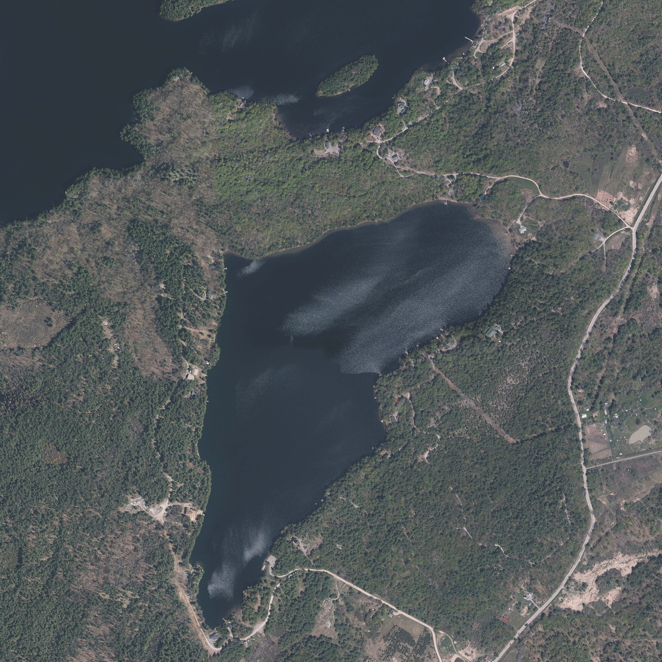
Orthoimagery from 2020
This image is here in three resolutions
It is often convenient to have maps on your phone. I recommend the free app Avenza Maps for either IOS or Android. It will permit you to load three of your own maps, and will then keep track of where you are with your phone's GPS. The links below will permit you to view and download pdf files with resolutions of 1 foot (175.2 MB), 3 feet (26.6 MB), or 6 feet (6.8 MB) per pixel. The smaller the resolution, the more detail you will see, but the more memory it requires. For use on a phone, the 3 feet resolution will almost always be satisfactory. And for many internet connections, 175 MB takes a long time to download.
The downloaded pdf file can also be viewed in Adobe Reader, which will let you see the latitude and longitude for any point on the map.
This website is intended to collect and display information gathered by folks who visit Sixberry Lake on a regular basis. If you find errors, dead links, etc., or wish to have content removed or modified, please fill out and submit the form here.